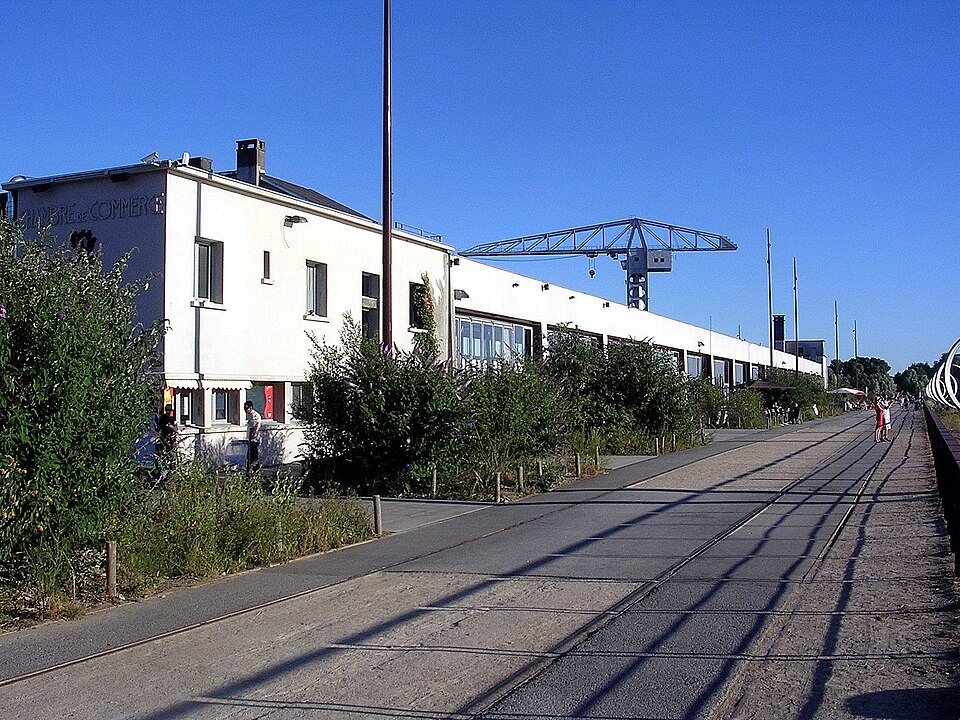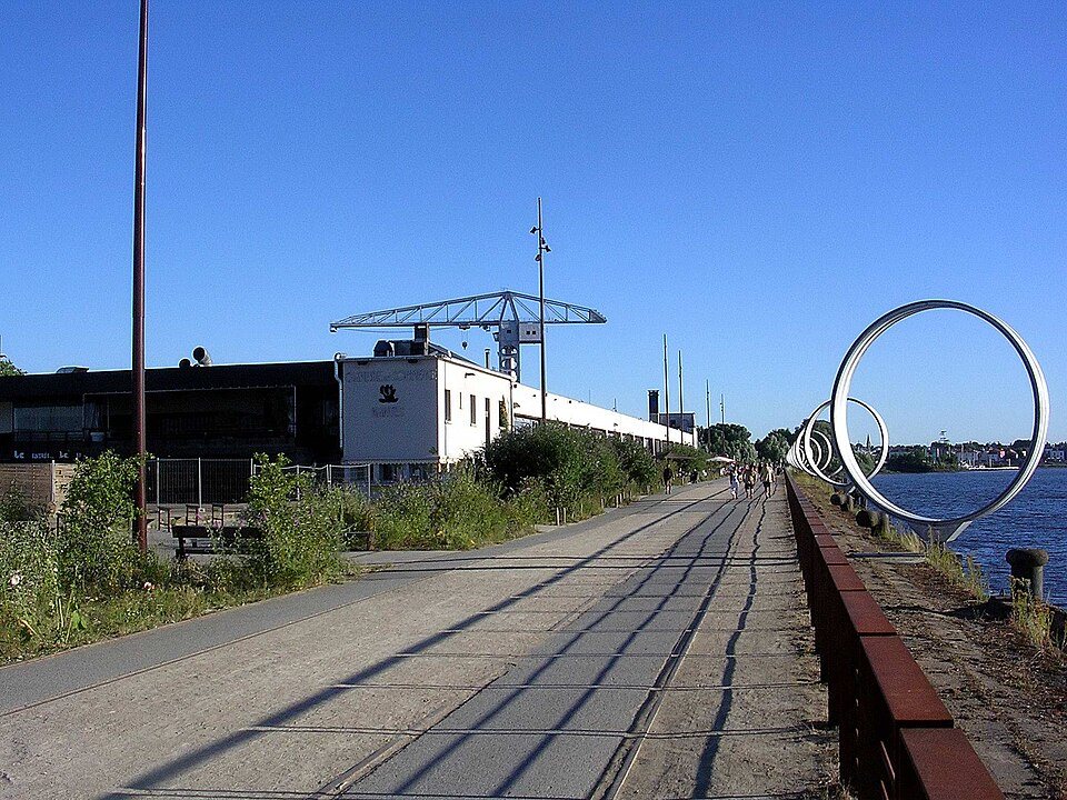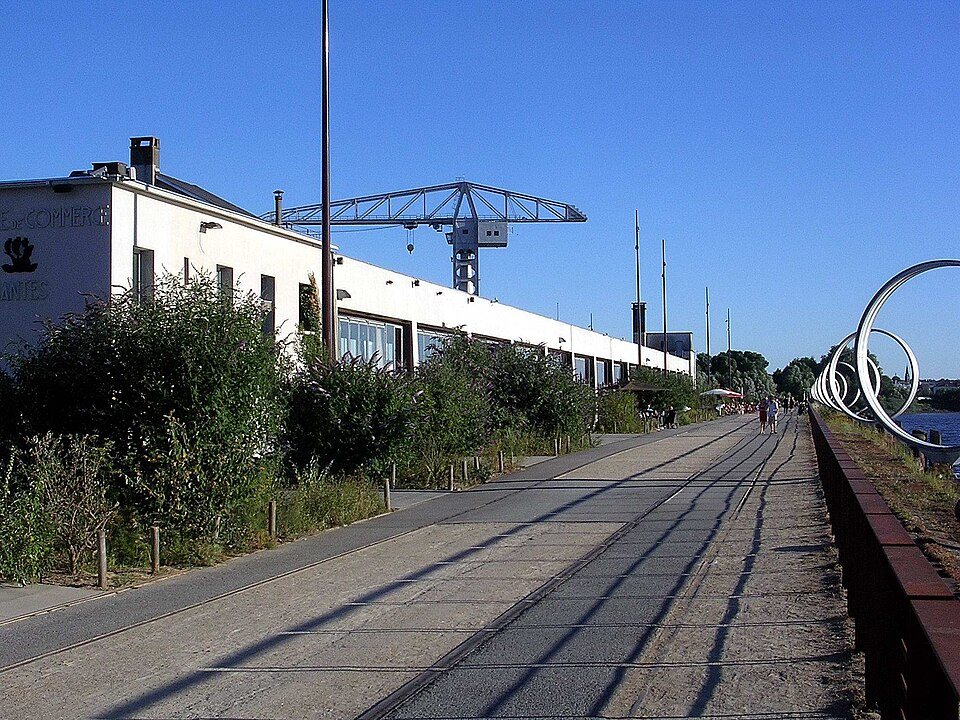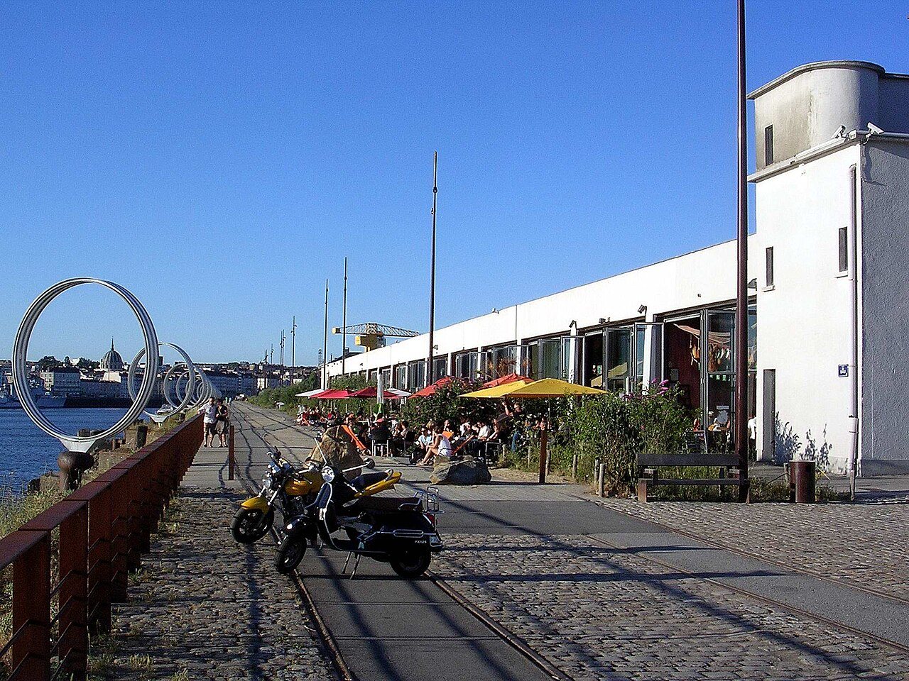
Nantes sits on a river that used to be harder to read than it is now. The Loire once split into several channels around the city, with islands and sandbanks in between, and most of that has been filled in or built over. What survives, and what makes the city walkable in a way that surprises people, is a towpath running along the water on both banks. It was built for horses hauling barges, not for tourists, and it still feels that way: flat, direct, and unconcerned with scenery for its own sake.
Starting point: the quays, not the center
The useful starting point isn't the cathedral or the château, it's the river itself. Walk down to Quai de la Fosse, where the old ship-owners' houses face the water, and keep going west past the Hangar à Bananes, a former banana-ripening warehouse that's now bars and a climbing wall built into its old loading structure. This stretch is paved, lit, and busy with runners and cyclists most of the day, so it's not a wild walk yet. Think of it as the on-ramp.
The common mistake here is assuming the towpath is one continuous, signed trail the way a long-distance footpath would be. It isn't, exactly. It's a patchwork of quay, path, and the occasional stretch where you're walking on a road shoulder for a hundred meters before the dedicated path picks up again. Bring a phone map rather than relying on signage.
Downstream toward Trentemoult
West of the center, the Loire splits around an island, and the path follows the near bank with the water close on one side and, eventually, the fishing village of Trentemoult visible across the channel. Trentemoult itself is reached by crossing, not by walking straight into it along this bank, so if that's your destination you'll want to pick up the river shuttle that crosses from the city side, the Navibus, rather than trying to walk a bridge that isn't there. Check current crossing points and the shuttle's operating pattern with the transit operator before you set out, since the service runs on the river and can be affected by water levels or maintenance.
Walking this stretch without crossing is still worth doing. The path runs below the level of the road, so traffic noise drops away, and you get a long, flat view across to the painted houses and boat sheds on the far bank. It's a working river edge rather than a landscaped one: cranes, old industrial jetties, the odd barge moored for repair. If you want the postcard version of Trentemoult's facades, you'll need to be on the other side, but if you just want a quiet river walk with that view as a backdrop, this bank does the job and you can turn back whenever you've had enough rather than committing to a crossing.
Upstream and inland: the Erdre option
If the Loire itself feels too industrial on a given day, the better-looking water is technically a different river. The Erdre joins the Loire inside the city, and its own banks are greener and slower, lined with villas rather than warehouses. The Île de Versailles, a small Japanese-style garden island, sits right where the two rivers' stories overlap, and it's an easy walk north from the center if you want a turnaround point rather than an out-and-back slog along the Loire. Several people who set out expecting a Loire walk end up happier on the Erdre simply because it's quieter and shadier; it's worth knowing both options exist before you commit to a direction.
What the walk actually feels like
None of this is dramatic scenery. The towpath's appeal is that it's flat, free of cars for long stretches, and lets you watch the city's edge change character over a couple of kilometers: warehouses give way to houseboats, houseboats give way to reclaimed industrial land with newer apartment blocks, and eventually the development thins out and you're genuinely in the countryside, with hedgerows and the occasional grazing field visible across the water. People use it for running, dog-walking, and commuting by bike, so don't expect solitude near the center, but it does thin out the farther you go.
Surface is mostly packed gravel or old cobble rather than pure footpath, which matters if you've got a stroller or bad knees; flat shoes are fine, but it's not manicured. There's limited shade on the Loire side in the middle of the day, so this is a morning or early-evening walk more than a midday one in summer, though no specific hours apply since it's an open riverside path rather than a gated site.
Getting back
The practical question on any out-and-back walk is how you return, and Nantes makes this easy in one direction and awkward in the other. Heading west toward Trentemoult, several tram and bus lines cut back toward the center from stops near the river, so you can walk one way and ride back rather than retracing your steps; check routes on the tramway network or the wider getting around page before you leave, since not every riverside stretch has a stop within easy reach. Heading north along the Erdre, public transport options are thinner closer to the water, so plan for a longer walk back or a detour to a main road to find a stop.
If you want to turn the walk into something longer than an afternoon, the towpath also connects, eventually, to routes that leave the city entirely and head toward smaller Loire valley towns; that's really a cycling distance more than a walking one, and belongs more with the day trips page than this one. For a single afternoon on foot, picking one direction, Loire west toward Trentemoult or Erdre north toward Versailles island, and giving yourself a fixed turnaround point, works better than trying to see how far the path goes before you have to come back.
In pictures