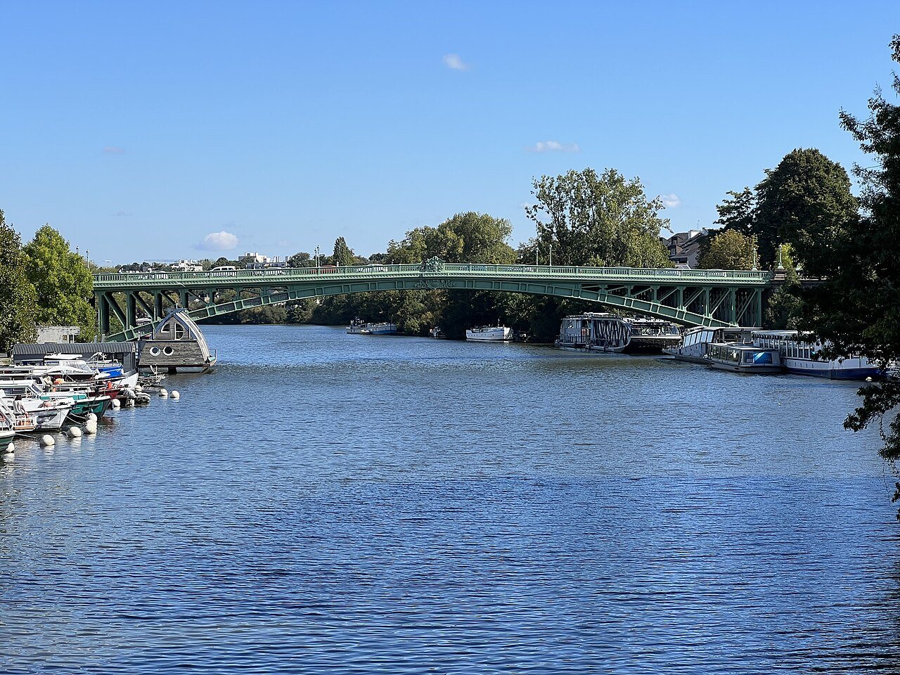
The Erdre joins the Loire in Nantes, and its last stretch was filled in in the 1930s: the river was diverted into a tunnel under the cours Saint-Pierre, and its old bed became the Cours des 50-Otages, which is why that boulevard is so oddly wide.
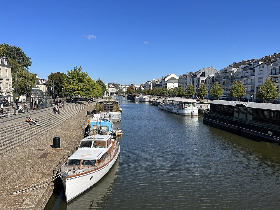
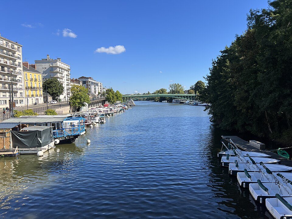
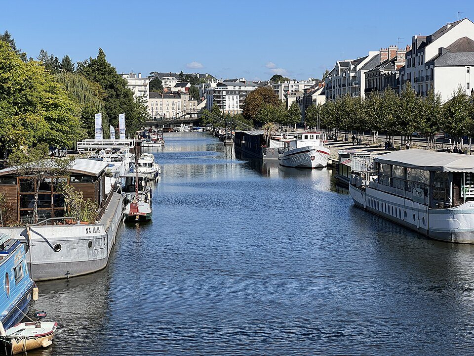
Upstream it opens out into a broad green river lined with châteaux and boathouses. Walking or cycling the towpath out of the city is the standard Nantais Sunday.
Boat trips run up the river from the center in season.
Walk north along the bank for twenty minutes and the city stops abruptly. Very few visitors do this and it is the best cheap hour in Nantes.
A river of manors
The Erdre rises at the Clairet pond, about twenty kilometers north-west of Angers, and runs 97.5 kilometers to the Loire. Its earliest recorded name is Erda, in 1072, perhaps from a pre-Celtic word meaning to flow; in Gallo, the old Romance language of eastern Brittany, it is the Erdr. It is a stream as far as Candé, a small river in its upper valley as far as Nort-sur-Erdre, and from there a broad, navigable river with an average depth of three meters all the way to Nantes, a stretch used by the Nantes-Brest canal. Upstream of the city it crosses the marshes of the Mazerolles plain, and the Erdre marshes are a Natura 2000 site. Its banks are lined with large estates, manors, follies, parks and châteaux, and King François I is said to have called it the most beautiful river in France.
How the river lost its mouth
In the sixth century Bishop Félix had the marshes at its mouth flooded to make the river navigable and to protect the city's western walls. From the thirteenth century the town spread to the right bank, and five bridges eventually crossed the last stretch of the river, the Pont Morand, the Pont de l'Hôtel-de-Ville, the Pont de l'Écluse, the Pont d'Orléans and the Pont d'Erdre.
In 1926 the city decided to fill in the northern arms of the Loire and the last kilometer of the Erdre, to deal with silting and with quays damaged by floods. As part of Germany's war reparations, the tunnel under the cours Saint-Pierre and Saint-André was dug from April 1930 to June 1933 by a Düsseldorf firm, and the diversion works were directed by the engineer Karl Hotz. The tunnel opened in March 1934. It is 740 meters long, with a concrete vault of five meters' radius, and it carries the river south under the Place Duchesse-Anne to the Saint-Félix canal, now the Port de l'Erdre, and through a lock into the Loire.
A boulevard with a name
The filled riverbed became the Cours des 50-Otages, about 800 meters long and 60 to 70 meters wide. Its name recalls the hostages shot in reprisal after the same Karl Hotz, by then the German Feldkommandant of Nantes, was killed by a Resistance commando on October 20, 1941. Two days later the occupiers executed 48 prisoners at Nantes, Châteaubriant and Mont-Valérien, and in 1945 General de Gaulle gave the city the Cross of the Order of the Liberation. At the north end stands the Monument to the Fifty Hostages, designed by Jean Mazuet and put up in 1950.
Getting on the water
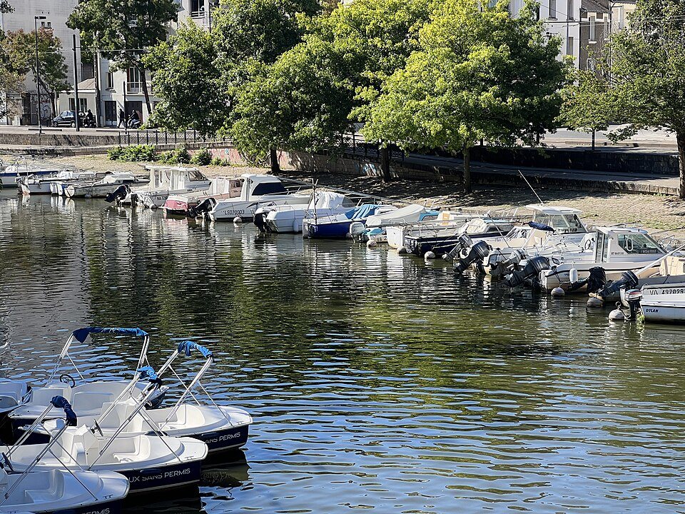
The tunnel itself is little used because of its tight clearance, but pleasure boats moored on the quai Henri-Barbusse use it to go down to the Loire, and the Erdre is navigable for about twenty kilometers above the Saint-Félix lock. Between 2006 and 2009 a public river shuttle ran through it several times a day. The Île de Versailles, a short walk north of the tunnel entrance at the quai Ceineray, is the natural place to start a walk up the bank.
The start of a canal across Brittany
The Erdre is also the first leg of the Nantes-Brest canal, a small-gauge waterway that crosses Brittany by linking eight river valleys with three summit canals. From the Erdre to the Aulne it runs about 360 kilometers, and only a fifth of that length is artificial; on the Erdre stretch only the junction with the Loire was engineered, so the river is almost natural. Lock number 1, at Saint-Félix, marks the start of the canal between the Loire and the Erdre.
In Loire-Atlantique the canal has 18 locks over about 74 kilometers. The Vioreau reservoir at Joué-sur-Erdre, created in 1835 by Spanish prisoners to supply water to the canal, covers more than 220 hectares. Walkers and cyclists can follow the whole canal on its towpaths, which form part of the Vélodyssée cycle route, so the walk north from the city can, in principle, go a very long way.
Sources
- Erdre — Wikipedia (fr)
- Tunnel Saint-Félix — Wikipedia (fr)
- Cours des 50-Otages — Wikipedia (fr)
- Canal de Nantes à Brest — Wikipedia (fr)
The Erdre in pictures