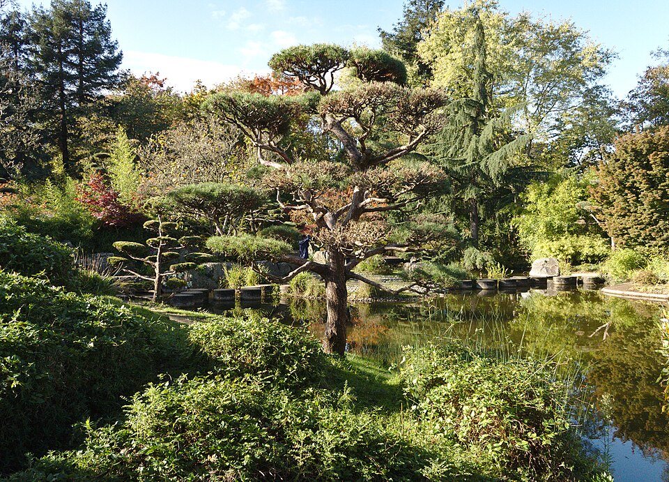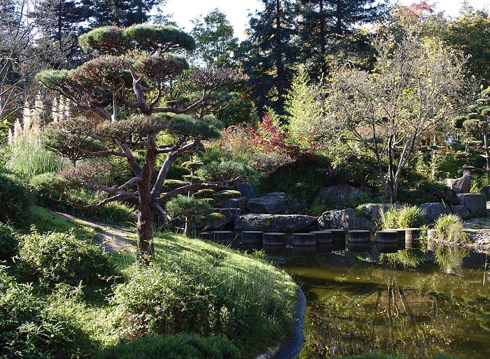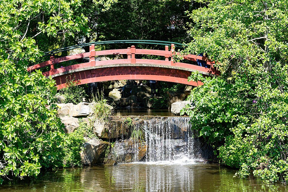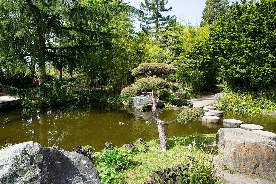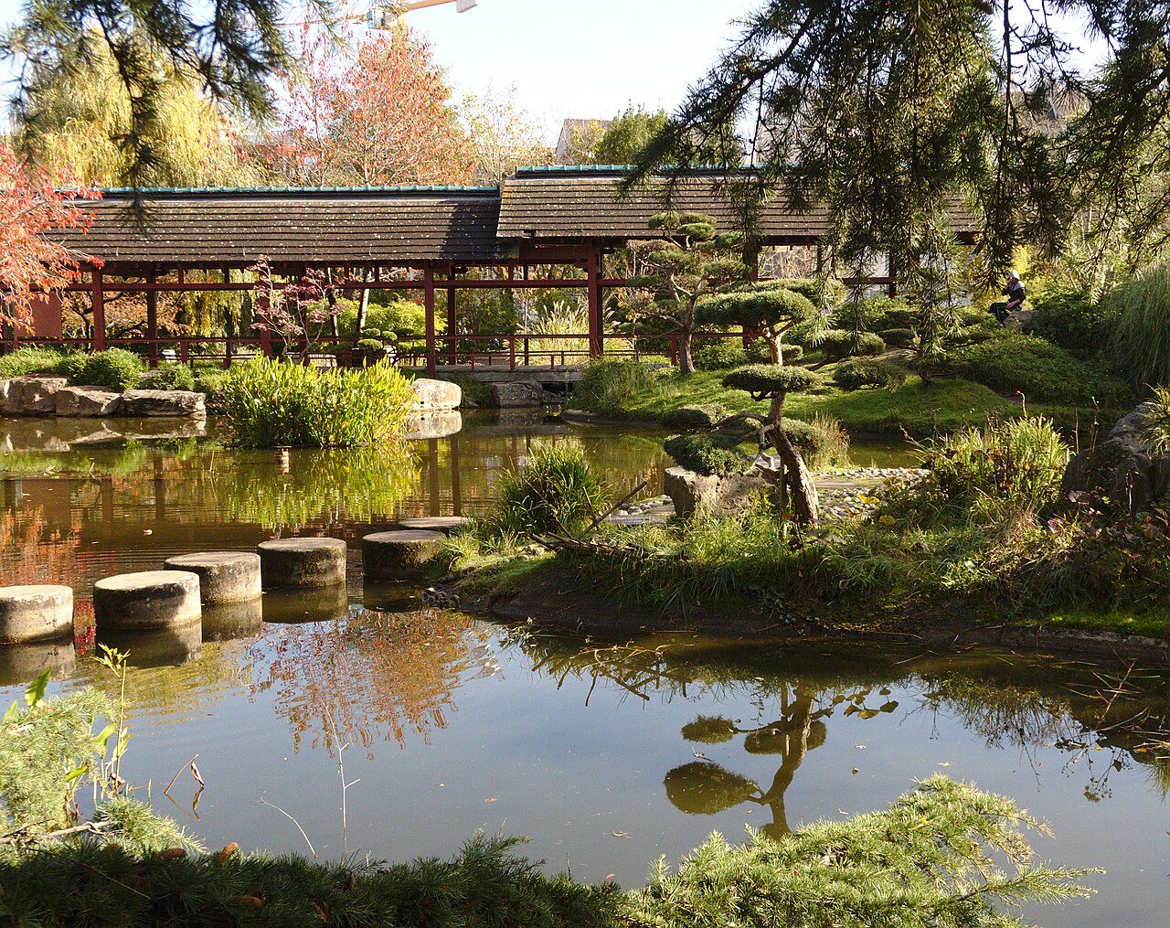
It was an working island — laundries, tanneries, forges and boatyards — until the 1980s, when the city turned it into a Japanese garden: rocks, water, bamboo, Japanese-style pavilions, and carefully framed views back across the river.
It is small, you can walk round it in half an hour, and it is startlingly quiet for somewhere fifteen minutes from the center.
The Erdre is the reason. Where the Loire is broad and industrial, the Erdre is narrow, green and lined with houses that turn to face it.
Combine it with a walk along the Erdre bank rather than treating it as a destination on its own.
An island made of canal spoil
The island is artificial. Shown on a plan of 1761, it was nothing but marsh until 1831, when spoil dug out for the Nantes-Brest canal began to be dumped here. It has had several names: the Barbin marsh, after the village on the right bank, then the Île Le Gall, then the Île aux Singes, the island of monkeys. The name Versailles, given in 1878, comes from a large estate called the petit Versailles that appears on the Cacault plan of 1756.
It covers 1.7 hectares and is the furthest downstream of the Erdre's islands, about 400 meters from the quai Ceineray, where the northern entrance of the Saint-Félix tunnel opens. You reach it by a stone bridge at the south end, built around 1845, and two metal footbridges, one to the south-east and one to the north-west, put up around 1988; the footbridge to the quai de Versailles was completely renovated in 2025.
A century of trades
A Monsieur Le Gall bought the island in 1840 and later sold it off in plots. For more than a century it was a busy working place: laundries, joiners' shops, tanneries and forges, boatyards, fisheries and taverns. In 1844 the city architect Mathurin Peccot drew up plans to turn the whole island into an enormous washhouse, with a central basin about a hundred meters long fed by five channels from the river, but it was never built. In the early twentieth century the Rondet boatyard on the island built the motor launch Suzette II, now a listed historic monument. From the 1950s the island was largely abandoned, used only for craft work linked to the river, mostly building and repairing boats.
Making a Japanese garden
Once the city had bought the last plots, work began in 1986 under the mayor Michel Chauty. A competition was won by the team of Jacques Dulieu, Claudine Breton, Michel Cormier and Michel Dudon, with the landscape architect Louis Soulard, on the theme of Japan. The garden was inaugurated on September 11, 1987, and completely renovated in 2019.
The design is built around three buildings inspired by traditional Japanese houses: the harbor office, which manages the moorings on the Erdre; the Maison de l'Erdre, a rectangular building around a Zen garden that holds exhibitions about the river and its wildlife; and a restaurant at the north end, now closed. Around them, rockeries shape cascades and pools planted with bamboo, bald cypress, rhododendrons, camellias and Japanese cherries, so the garden changes color through the seasons.
Where the river walk begins
The island sits at the point where the Erdre stops being an urban river. Just south of it the water disappears into the tunnel dug in the early 1930s to carry the river under the city to the Loire; to the north it widens into the long, navigable stretch lined with manors and parks that King François I is said to have called the most beautiful river in France. Boats moored along the quai Henri-Barbusse opposite use the river in both directions, and the harbor office on the island is there to look after them.
The river in both directions
Downstream, the river's old final stretch into the city was filled in from the late twenties onward, and the Erdre now flows through the Saint-Félix tunnel, 740 meters long, dug under the cours Saint-Pierre and Saint-André and opened in March 1934. It comes out in the Saint-Félix canal, now the Port de l'Erdre, and reaches the Loire through a lock. The tunnel is little used because of its low clearance, though between 2006 and 2009 a public river shuttle ran through it several times a day.
Upstream, the Erdre is navigable for about twenty kilometers above the Saint-Félix lock. Beyond Nantes it crosses the Mazerolles marshes, a Natura 2000 site, and from Nort-sur-Erdre down to the city it serves as the first section of the Nantes-Brest canal. The island is the obvious place to start a walk or a ride up the bank, and the exhibitions in the Maison de l'Erdre are a good introduction to what you will see on the way.
Sources
- Île de Versailles — Wikipedia (fr)
- Jardin japonais (Nantes) — Wikipedia (fr)
- Erdre — Wikipedia (fr)
- Tunnel Saint-Félix — Wikipedia (fr)
Île de Versailles in pictures